
Mapping the Pentland Hills
Mapping the Pentland Hills
£8.00
Mapping the Pentland Hills
John E. A. Bartholomew
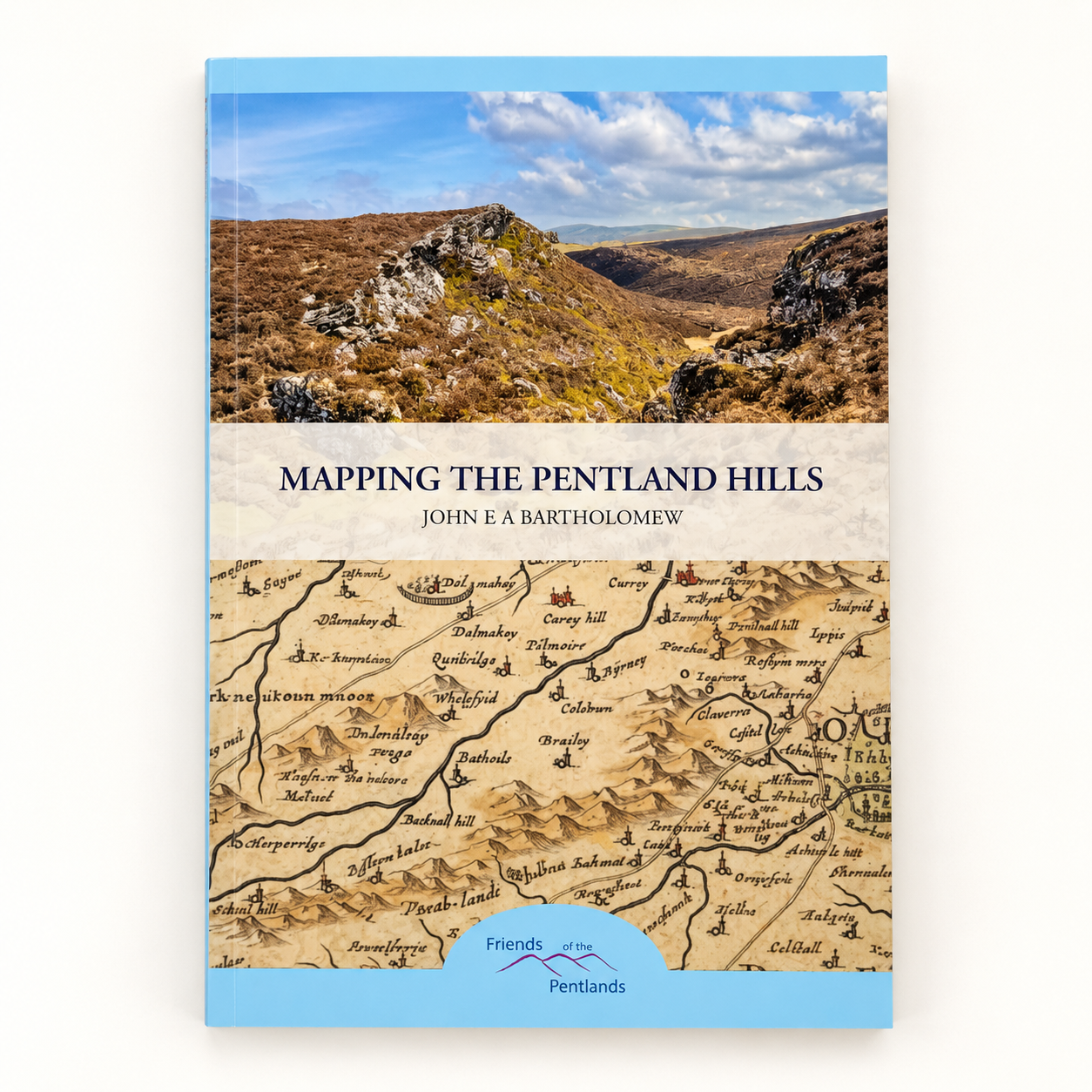
Discover the fascinating story of how the Pentland Hills have been mapped, explored and understood through the centuries in Mapping the Pentland Hills by John E. A. Bartholomew.
Drawing on the rich cartographic heritage associated with the Bartholomew name, this engaging book explores the changing representation of the Pentlands on maps and the way our understanding of this distinctive landscape has developed over time.
For visitors to Rosslyn Chapel, the book offers an especially interesting perspective on the surrounding countryside. The Pentland Hills form an important part of Roslin’s wider landscape, and their historic routes, settlements and landmarks provide a fascinating backdrop to the story of the area.
Combining maps, local history and an appreciation of the landscape, Mapping the Pentland Hills is an appealing addition to the bookshelf of walkers, map enthusiasts and anyone with an interest in Midlothian and the Pentlands.
A fascinating journey through the maps and landscapes of the hills that have shaped the countryside around Roslin.
21 in stock
21 in stock
Description
Mapping the Pentland Hills
John E. A. Bartholomew
Discover the fascinating story of how the Pentland Hills have been mapped, explored and understood through the centuries in Mapping the Pentland Hills by John E. A. Bartholomew.
Drawing on the rich cartographic heritage associated with the Bartholomew name, this engaging book explores the changing representation of the Pentlands on maps and the way our understanding of this distinctive landscape has developed over time.
For visitors to Rosslyn Chapel, the book offers an especially interesting perspective on the surrounding countryside. The Pentland Hills form an important part of Roslin’s wider landscape, and their historic routes, settlements and landmarks provide a fascinating backdrop to the story of the area.
Combining maps, local history and an appreciation of the landscape, Mapping the Pentland Hills is an appealing addition to the bookshelf of walkers, map enthusiasts and anyone with an interest in Midlothian and the Pentlands.
A fascinating journey through the maps and landscapes of the hills that have shaped the countryside around Roslin.
Packaging information
| Weight | 0.11 kg |
|---|---|
| Dimensions | 21 × 14.7 × 0.3 cm |